RMNP 16 Notch Top Mt. Bear Lake to Fern Lake

RMNP 16 Notch Top Mt. Bear Lake to Fern Lake

Friday, July 20, 2012

Mt. Massive, Leadville CO

Signing in for an early start!
Facts
10 hours
Starting elevation 10,100 feet highest elevation 14,421 feet
Gained 4,410 feet
14 miles round trip
Total miles: 80.4

The alarm went off at 3:30 am. I think I was already awake as I was sure an airplane was going to go right through the house! I guess we are kind of close to the airport. I only heard one plane, so perhaps that pilot made a slight error in altitude?

We got ready for our attempt to go up Mt. Massive in a quick 30 minutes. Then we decided that we simply must have a cup of coffee before going, so we quickly made a small pot and medicated our caffeine fix. The thought of starting with a caffeine headache and a high altitude headache was too much

Yesterday we practiced the drive to the trailhead. When arriving in Leadville yesterday we were not sure where the Mt. Massive trailhead was or how long it would take to get there from where we are staying. Driving around lost at 4 in the morning is never a good idea, so we read several printouts that we had in our trip folder and ambled around until we found the correct set of roads. The access road is woven through a national forest and has lots of camping available, but only the kind of camping where there is no campfire. Due to the very dry summer, Colorado has posted that the fire danger is very high so no weanie roasts allowed. Although we could ease everyone mind by reminding them that Penny and Kathi are vacationing in Colorado, so you can count on rain to put out the fire...

Since we are all practiced up on driving back to the trailhead we hit the road with confidence. Confidence that there will be only cars headed into the trailhead at this time of day. You see the trailhead is about 6 miles back on an improved gravel road. I think they use the word "improved" here in Colorado with little regard to the meaning of improved. True this road had gravel. True, this road has been graded sometime since the last year, but let's not use the word improved. It was 6 miles of rutted, washed out gravel, occasional boulders sticking up out of the road, and just to keep the speeds down they maintained a heathy batch of rumble strips that ran the entire 6 miles. No seriously, the washer board ruts went the entire 6 miles. Yes, improved is an interesting word choice.

Improved or not we were the only car on the road at this time of the morning. I guess everyone else slept in. Since Mt Massive is a 14'er you are advised to get an early start so you can get up to the top and back off before afternoon thunderstorms. The thunderstorms here can really rock your socks off so you can bet Kathi and I heed that early start warning. Headlamps on, we lock the car and hit the trail at 4:50. The trail is rather nice for the first 3.5 miles. In fact you could call it improved! You only gain 1,000 feet in altitude so it is just a walk in the park. Oh, yes, with headlamps on and lots of clothes as it is 36 degrees.

This part of the hike took us about an hour and half. We put away our headlamps and took off some clothes as the serious uphill was about to start. The views we have once the sun rises are of the surrounding mountains, the town of Leadville, a large lake named Turquoise Lake, Twin Lakes, and Mt Elbert. We have the delightful songs of a single coyote singing a lonesome solo off to our left somewhere. We make a mental note to find out what sort of things a coyote might be singing about at 6 in the morning. I hope it does not translate to " hey, coyote friends, I spy two ladies that we could rustle up over on Mt. Massive..."
That is Leadville is way down below

We"re headed up to the top


We don't see another soul out hiking until just before we get to the final basin before the saddle of Mt. Massive. Some young billy goat of a hiker blew by us like we were standing still. Well perhaps we were standing still when he went by as we might have been trying to catch our breath.

We were able to keep climbing up to the saddle of Mt. Massive with billy goat hiker showing us the way. He was scampering back along the ridge line of the mountain while we were just making it to the top of the saddle. Mt. Massive is really three mountains standing all together. They are all above 14,000 but only count as one of the Colorado 14ers. 

Kathi and I really one want to get to the one that is the tallest. So we have to do some ridge walking to get to the last peak. I think there was only one section were both sides of the mountain had fallen away and we were on a section as wide as a sidewalk to work with. No need to panic and hug the ground, just look at what you are doing and believe that if you can manage to walk on a sidewalk, then you should be just fine here. The scramble on this mountain is really what I had expected to find on Long's Peak last year. I believe the Rangers words were: oh yes, it is reasonably as wide a a sidewalk with proven foot and hand holds to help boost you along your way... Instead we found the path as wide as a balance beam with a sheer drop off on one side. Perhaps when the Ranger said sidewalk he actually meant for us to walk sideways sliding one foot along at a time. I don't know it is just a passing thought. But what we are on now seems like a cake walk! As my kindergarteners say, " easy peezy lemon squeezy!"
Sign your name!

Standing on top of the second highest mountain in CO

Ta Da!

At the last peak we find the special 14ers tube. Attached with a cable to a sizable rock is a shatter proof tube containing an iffy pen and a tightly wound wad of pages. These pages are filled with hurried and cheerful signatures of those people who have climbed to the top of this 14er. I pull out the signing sheet and record that Kathi and I had made it to the top. We sit up there and have half a lunch. We are joined by a father, son and their dog, a young fellow from Iowa, and finally by a guy who was out practicing for the lead man contest. A 50 mile trail run, a 10k run, a 100 mile run, and a marathon. Sounds fun? Forget it, thats sounds more like the deadman not the lead man.

Time to leave and start heading down. The trip down seems long. As with all of our hiking trips we seem to find someone to strike up a conversation with. And true to form we run into three backpack hikers who were doing their first section ever of the Colorado Trail. The Colorado Trail runs from Denver to Durango. The three people we were talking to were a father, his adult daughter and a family friend. We talked about all sorts of fun things like great hikes they had been on, 14ers they had been up, and which 14ers sounded like they might be fun to go up. We also spent a good amount of time talking about everyone's Long's Peak adventures. Most all hikers in Colorado have a funny story about Long's. We spent well over a half hour just chatting.


Looking towards Maroon Bells


Time to keep heading down. We make the total trip including chatting time in 10 hours.
We head home to shower up and go out for dinner. We end the night in the hot tub.
 What a great day.
Aspen sunflowers on Mt. Massive

Wednesday, July 18, 2012

North Fork of the Lake Pass


8.24 miles
5 hours hiking
Started 10,700 feet highest 12,500 feet
2,569 feet up 2,487 feet down
Total 66.4 miles

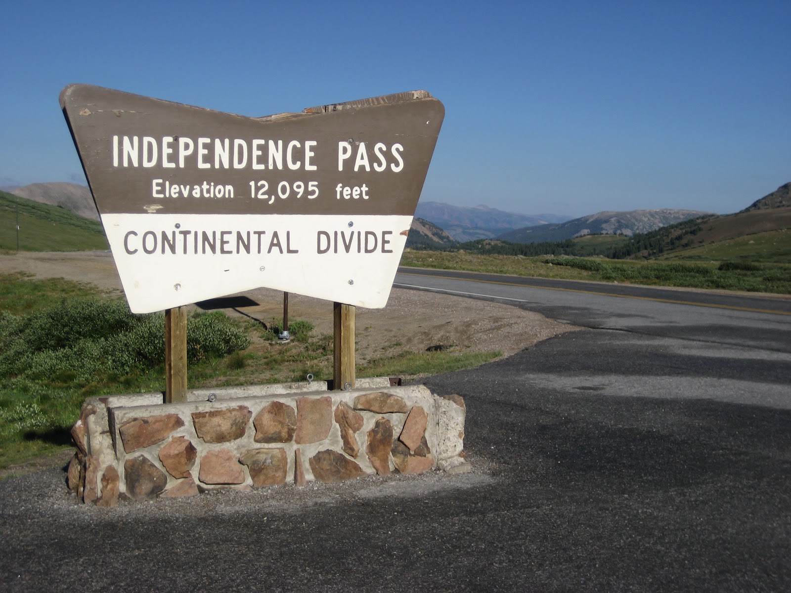
We had an interesting drive over Independence Pass today. Perhaps some of you have been on Colorado 82 over Independence Pass before? Vehicles longer than 35 feet may not use this road. I'm not sure who we should thank for that piece of mind, but we clearly should send them a note of gratitude. When the road has two lanes, neither is very wide. In fact our Traverse pretty much is yellow line to gravel edge wide. Most of that time I was sure that Kathi was driving with both passenger side tires off of the edge of the road. There are three times when the road goes down to just single car width. It is marked as "road narrows" on the road signs. The department of transportation could put up two things that would greatly improve the driving experience: 1) sign should read: one lane ahead, sharp drop off below" 2) mirrors or stop and go lights should be installed as all three of these sections go around a large mountain face wall and leave you totally blind as to what is coming around the corner. If it is another car good luck as their is not enough room to pass. We had such an encounter with a Hummer. A Hummer is rather large. Fortunately they were on the outside and we were pinned with our mirror against the cliff wall, I felt pretty good about that. We were on the inside! Ah, yes, what is driving in the mountains without a little heart stopper?

Just a few miles short of the pass is a ghost town called Independence. Right along the road are the remains of Independence which sprung up because gold was found in the area in 1879. By 1880 there were 300 people living there and up to 500 people there by 1881. The mines in the area processed $190,000 of gold in 1881 and by 1883 the gold production had fallen off to only $2,000 . (These $ amounts are in terms of gold prices during those years). Most of the towns people moved to the neighboring town of Aspen to find work and better pay after 1883.

By the winter of 1899 a series of severe snow storms left those remaining in Independence cut off from their supply routes. The few remaining miners and their families were without food, so they did what any logical pioneer / miner would do... They dismantled their houses to make 75 pairs of wooden skies and escaped in masse to Aspen. And that was the end of Independence. If you go to Independence to walk around and visit, it will cost you a $3 dollar donation. Hey gold is hard too find in them' there hills!

We drove up over the pass and down to the bottom of the climb on the other side to arrive at our next trailhead. We find we are the only car. The trail is either to the east or to the north. We pull the map and double check. We head north. Trail starts as a jeep 4 x 4 road that has been closed. I can't imagine driving anything across the rocks that were as large as kitchen sinks and bathtubs. The rocks were everywhere, but I know some people find that fun. After walking on this double track trail for three quarter of a mile we finally get onto the trail that is single track and find it choked with willows and sage. These bushes range in height from knee high to over our heads. They are dripping with water. For a while Kathi does battle with the wet bushes and finally gives in to defeat and puts on her rain gear as her pants are soaking wet. The skies are bright blue with only a wisp of a cloud so this seems like defeat.

We hike all the way back to the head wall of this valley and then start to climb up to the next hanging basin. The way the trail winds through the willows it is a mystery how we are going to get to the top of the next basin. It becomes a game of sorts trying to guess where the trail really goes. Who ever designed the trail was trying to avoid the wet bogginess close to the creek so they wound the trail every which way to avoid the bogginess, creating a corn maze of sorts.

We make it up to the second basin to find a whole new world. This has another head wall which we will be climbing. Again we comment on the layout of the trail. This time rather than staying high and walking to the pass we loose elevation that we already gained so we can walk right across a bog that we just spent one mile avoiding. The bog was very springy and sort of like walking across a trampoline. As you might imagine it was wet. This made for a nice soft walk on our feet. This bog walk took us right up to the final head wall. We made the final push up and gained the top in 17 minutes of what seems like a 30 % grade. 

Trail winds every which way through these willows and sage as we head back to the mountain that is right of center

Stream from the lake with nice smelling flowers

Lake with fish is behind us

Looking down at what we climbed up


Up at the top of this final head wall is a lake which is listed as frozen much of the year. But not this year. We were able to watch the fish jump and play swimming games near the edge of the lake. We also watched a little tiny duck dive under the cold water and go fishing. That little old duck would stay under water for 30 seconds or more!

We made the final scramble up the last two tenths of a mile to the continental divide. We had half a lunch there before leaving due to a chilly wind. Back down the the trail to the first lake to watch the fish and duck again. It just would not be right unless a dark cloud came along, sure enough one did come floating over the mountain. We packed up and left. We know the drill by now.


This part of the trail is all bog that we bounded over


Lunch table at the Continentail Divide
We make good time coming down this trail and are about three miles from the trailhead before we stop and put on our rain gear. It spits and sputters with rain for a while before the sun comes back out. So we stop and take off our rain gear as it is now hot. We make it back to the car just in time for a whole new set of clouds to move in and get really dark again. It rains hard, but we are now in the car. Nice!


Great another day of hiking without getting wet. Well, ok we did get a little wet today, but I am not going to count it as such because I did not get drenched, only sprinkled on.

We drove to Leadville in the rain. Leadville is a very old mining town and it looks like the outskirts are pretty weathered, but downtown is like driving back into the the Victorian age with houses and crazy paint choices. Stay tuned for my Leadville update.

Lost Man Lake out to South Fork Pass Aspen, CO


Last year Independence Lake


This year Independence Lake
10.2 miles
7 hr 45 mins
11,512 feet starting elevation highest point 13,000 feet
Feet up 4,104 feet down 4,144
Total miles 58.2

Today we are hiking another repeat. Last year when we visited, it was a winter wonderland! As a quick reminder we found Independence Lake and Lost mans Lake frozen. We also found a very disappointed fisherman standing with his pole looking longingly at the frozen lake. We spent so much time trying to figure out where the trail was as we could only see bits and pieces melted out of the snow. We would go up and over the snow get to the melted out spots, walk that to the next snowfield cross it towards were we think the trail might be headed and stand there until we could sight the next melted out spot. We were very fortunate to find a group of hikers at the pass who had a GPS with the trails preloaded. With that little gadget we were able to walk though the winter wonderland criss crossing the snow fields without issue.

This year no snow. That is great, but when you have no snow to stop for, the hike feels much different. Holy cow, we started hiking at 11,500 feet and go up to 13,000 the air feels a bit thinner. It took us about a hour and twenty minutes to get to the top of the pass. All along the hike we go through some wet areas and the smells are very fragrant. Certainly not something I would want to spray on in the morning, but most definitely something that was flowery. We spent a lot of time trying to figure out what was the plant or flower that was so fragrant.

We followed two people up to the lake who were aiming to do some fishing. We did get to see them fly fish at Independence Lake. One of them had their line in the water very quickly and the other one has futzing with the pole. To bad there was not more action as watching someone fly fish is fun to watch.

Just over the pass we stop for a little snack and to put on some warmer clothes. It was a bit chilly at 45 degrees at the top. Last time through this area we boot skied down to the next lake. This time we took the trail, skiing is faster and more fun.


Lost Man Lake Frozen over. We boot skied down the snow

Lost Man Lake is open this year.  We are dressed warm as it was 36 degress at the pass


This back side of the pass is much greener. The basin is wonderful. As we step down through this basin we find that it is much wetter with a lot of mud. In the mud every once in awhile we see some really huge paw prints. I believe them to belong to a mountain lion or cougar whichever they have here. Shorter and wider than a dogs print along with deep claw marks.

Big paw print with deep claw marks
Kathi and I review what to do if we see a cougar or mountain lion. We are making our way through some tall willows walking and talking about whatever you do, don't run...next thing Kathi stops dead in her tracks, I again almost run into her backside. This time Kathi did not say BEAR! She just did a quick air suck in. I peak over her shoulder, it is times like this that I really like that Kathi wants to hike first...We see a yellow lab bounding up the trail towards us. Nice! We can breath again! We were never so happy to see a yellow lab! Yellow labs sure do look a lot like cougars when you are thinking about cougars!  The lab is followed by four ladies hiking the looping trail in the opposite direction that we are. We tell them about the tracks and head on our way.

We come to the junction for South Fork Pass and make our way up the trail. We find ourselves a nice rock with a view of the valley and have ourselves a half of a lunch. The pass was not much to look at, but the clouds seems to be gathering and are rather dark, really again? Ok, pack up and start heading back. We now have to hike back up to the same trail that we came out on.

After yesterday's hike up to two passes this should be about the same amount of uphill. Again we keep our eyes open for cougar. About the same area we met the yellow lab we stop to chat with a husband and wife who are out hiking. They live in Aspen year round and love to get out hiking. We talked about the wildlife we had seen in the area. They also had seen the very large tracks. Then we mentioned the bear which we saw yesterday, well heck, they had a topper story. They are on the Aspen Bear Watch committee and this week the lady had an in home visit from a bear. I guess these things are not suppose to happen when you are on the Aspen Bear Watch committee. She had left her front door open to the house to help get a little cool air inside. I guess it was a bit warm that day and air conditioning around here is unheard of. She heard some noise and first thought it was raining, upon looking out the window she noticed it was not raining, so she went to see what was up... She walked from her in home office door to the hallway just in time to see a bear walking out of her house. As she checked the house for any possible damage she noticed that the bear made a stop by their wine cooler. Guess they didn't have any huckleberry wine for that bear. What do you say after that? They were so lucky the bear was just out wandering around and did not find anything in the house. These are the kind of impromptu conversations that I so love about meeting people while out hiking. We also talked about how different Aspen was during June/July, the week of Christmas and the week of Easter. The guy was in high end construction and remodeling. When a billionaire comes to town and buys a 52,000 square foot home and wants it re-done to make it more cozy, they would call him. Or another good construction story was aboutpeople buying big homes and having them gutted so they could make them earth friendly. I think we could have stood there and talked for a long time because as it was we spent about 25 minutes chatting. We needed to be moving.

We stopped for the second half of our lunch just short of the Lost Man Lake. The sun was feeling warm and we had ourselves a nice flat boulder to spread out on. For the first time since we started our vacation we just sat and took in the views without feeling like we needed to hustle due to the impending rain.

I think I could have taken a nap if I would have been able to get out of my mind the fact that we were in cougar country... Ok, back to the hike. It took us about a half hour to climb the remainder of the uphill. It was much warmer the second time over this pass, so we took some more pictures.

Made good time getting back down to the car. Surprise surprise, today is the first day we don't have to suit up for rain. Nice. Now for the hour drive back to Snowmass on hwy 82 which is very narrow in spots with big drop-offs. It is a real doozy. Some places only one car wide. I will try to keep my comments to myself about going slower :)


Nice Flowers!  I like to look at flowers when walking uphill.


It does rain later in the evening, but we are home before it starts. What a great day.

Tuesday, July 17, 2012

Willow Pass and Buckskin Pass, Maroon Bells CO

Moose in meadow

The facts:
11.5 miles
Starting elevation 9511 highest elevation 12592
Total elevation gained 4088 lost 4068
7 hours of greatness
Total : 48 miles

Woke up at 5:30 and into the car by 6:45

We drove up to Maroon Bells again this morning and on the 9 mile drive back we saw a moose down the hill in a little pond. We did not think there were any moose in this area of Colorado, so we parked the car along side of the road and got out to take a few pics. The moose ended up loping up the hill and crossing the road. Now that was fun to see.

We got on the trail right away as the winds were up and Maroon Lake was not very picturesque. The trail back to Willow and Buckskin pass is petty rocky and it is certainly uphill. Kathi and I are talking about something that happened last night and we are clipping along about 16 minutes into the hike. Just like that Kathi throws on her brakes and I almost walk right into her. She only has to say one one word. BEAR! I being a bit hard of hearing usually have to have Kathi repeat things for me. Ahh, not this time. We are about 50 feet away from the bear, he is meandering up the hill. I am whispering to Kathi, this is when she reminds me we are suppose to be talking loudly so the bear knows we are here. Oh yeah, I forgot. Ok, well, I said loudly, I THOUGHT THE BEAR WERE SUPPOSE TO BE CHEWING ON THE DEAD CATTLE OVER AT THE HOT SPRINGS! Kathi and I stood there and talked loudly until we thought he was uphill a sufficient amount. Let's keep in mind they can run 40 miles an hour... I bet they can run even faster downhill! We pass by without incident. What is going on with all of this wild life this morning?

We make good time hiking along for two hours, during these hours I am thinking about when you meet a bear, exactly what is the volume of voice you should use? You want to alert the bear, but scaring the bear might make them mad at you. Then they want to eat you... Hmm, loud but not too loud.

After two hours of hiking uphill we are ready for a snack break. The clouds look a little iffy on whether it is going to be raining soon or not. We decide not. We stop and have some snacks, put our packs back on and get hiking again. We think we are going to get up to the water source so we can fill our water supply before it begins to rain. We make it about 68 feet up the trail before we stop and put on all of our rain gear. I guess we did not read the clouds correctly. It rains hard for about 40 minutes.


Creek crossing this year
Creek crossing last year was an iffy snow bridge, Kathi throws rock to test the snow...


By now we are up by a trail junction between Willow Pass, Buckskin Pass and a rushing creek, we stop to filter and treat some water before making a push towards Willow Pass. While we are gathering water we can see people dancing around at the top of Buckskin Pass. That is kind of cool to see. While we are filtering and treating the water the rains stops. Great!

Willow Pass from this junction is up over an escarpment and into another basin. Wow, what great sights. From the top of this escarpment it looks like a whole new world all of which is unseen when in the lower basin. We can see people making their way up the long switchbacks leading to the pass. When you see this you can start to get your mind wrapped around the thought of the uphill you still have to take on.


Looking down from the pass

Hiking up to Willow Pass look hard for the switchbacks

Tiny little wind blown Asters

Standing at the base of the last push to the top Kathi and I take a few deep breaths and start the final switchbacks. It takes us twelve minutes to get to the top. Wow, I was very impressed with that effort. I think we are starting to get some thicker blood to be able to climb at these altitudes. Nice!

We have lunch reservations at the top. We sit and look down over the Willow Lake basin and watch two people far off in the distance hiking along. From this distance they look like little ants. By now the sun is out and the day looks good enough to head back to the junction where we filled up with water earlier, and then head up to Buckskin Pass. We head down and back to the junction. Those two sentences made the little trek sound simple, but it really was about 45 minutes of hard hiking down so we could then hike back up. From the two different passes you can see such different views of this beautiful place.

From the junction we take the long switchbacks up to Buckskin. We were up here last year, but had to negotiate around several larger snowfields to get up to the top. It was enjoyable to see how different everything looked.


Lunch reservations


Top of Buckskin Pass
We again sit, relax, eat the second half of our lunches. For our entertainment we watch a guy who works for the forest service hammer in stakes and take notes. He was putting together a trail maintance plan. We sit on top of the pass until we feel that the skies are changing. Time to pack up and get going.

Heading down today we chat about how many backpack hikers we have seen over the last three days. I guess we should have been counting them... Kathi likes numbers, it gives her the chance to keep her mind sharp for work ;) me I like to let my mind wander towards what I should blog about today. Perhaps today it is about the wild beauty of this place along with the wild things that live here. Looking around we know that these views are what makes hiking so special. Clouds are gathering again and we try to make good time when we can. If it is not rocky we are really fast footing it. If it is rocky we just take our time.

Again with it being monsoon season it really rains. Soon we are right back to walking through two inches of water which is rolling down the trail. These two inches of running water really masks those pretty little rocks that grab your feet and make you stumble. I was trying to think of what we might look like as we hike along tripping over unseen rocks. I am sure we appear quite comical!

As a good piece of info, these rains have really aided in putting out the wild fires. It has also given Kathi and I a good chance to check out our rain gear and water proofing techniques. Rain jackets are great, 5 stars! Rain pants have a 3 star rating of just ok, boots rate a great 5 star, rain covers for packs rate only one star. What can you do with the water that rolls over your hood, and down your back. The backpack rain cover, covers everything but the side that goes against your back. This means any rain that rolls down the back side of your coat gets directly absorbed into the pack. You would think the backpack cover could account for this, but sadly it does not.

It has stopped raining by the time we make that last half mile towards the parking lot. People who have come up in the most recent bus from Aspen are dry and stepping daintily around the huge puddles. We walk our way back towards the parking lot, walking right through all of the rain puddles. We have well proven rain gear and boots!
Nice! Sure am glad we put two coats of water proofing on...

Monday, July 16, 2012

West Maroon Pass From Aspen CO to pass

Maroon Lake with Maroon Bells Behind
Canandian goose has two a family of two

Facts
13 miles
9 hrs
Starting elevation 9,541 feet highest elevation 12,520 feet
Elevation gained 4,193' elevation lost 4,190'
Total miles 36.5

Another wonderful day in the mountains. Sky was blue as we left the condo and drove over to the Maroon Bells. There were no surprise signs this morning at the trailhead so we took some time and shot some nice pics of Maroon Lake with the Maroon Bell mountains behind them. The water was glassy smooth, but a few hanging clouds shrouded the Bells. So beautiful that stopping to take a whole bunch of pictures is the only thing you can think of to do. After ten or so minutes of photo ops, we head on back towards Crater Lake. It is a very rocky trail, the going is slow, same basketball size toe biting rocks live over here too.

Last year with the snow melt being at a higher elevation the hike to Crater Lake was slow going as part of the trial was under water. This is also were Kathi baptized her boots when the log she was using to cross a rushing stream gave way. This year it is just a dry bed of rocks.

Upon coming around the last corner before the lake we get our first view of Crater Lake. It must have a leak as the water is really low. Very low, looking at the water marks, I am guessing 15 to 20 feet lower than last year. We shoot a few pics here and continue on.
Crater Lake Last year
Crater Lake this year

It took us two hours to get back to the water crossing where we had to stop last year due to extremely fast rushing water. The high water was due to the large amount of snowfall last winter/spring. We stood in amazement and talked about how high the water was last year. What a difference. We stepped right across without a drop of water splashing us.


Creek we could not cross last year
Same creek this year walked right across
 From here the trail is new to us. The trail heads up with some nice sized basketball rocks sticking this way and that way in the trail. To make things a bit more thrilling the trail is pinned in with heavy, face tall willows and sage bushes. If you paid attention to the willows you tripped on a rock, and if you looked for rocks you got wapped in the face with a willow. Clearly this was not our favorite part of the hike!

The willow wapping and rock tripping continue on up until we get to the second water crossing. Here we stop and filter some water and have a little snack before crossing. We can see people popping in and out of the willows, more tripping and wapping until we finally get above tree line. By this time we are up into the upper basin and the views are visually breathtaking. Certainly makes the last mile and half of willows a distant memory. At the same time the views open up, the trail gets very serious about gaining elevation. Even though I want to be looking all over, my eyes are glued to the trail as I am sucking wind. We are at 11,800 feet and heading up. So it is not about the fitness, it is all about the lack of oxygen in the air. We need a few more days to get our blood thicker!

I wished I would have counted dogs today. We saw many dogs that were the happiest little hikers you ever saw. Some of them carried their own back pack while others free loaded off of their owners. So we got a good dog fix today. That was nice.

As we were making our final push up the last few very steep switchbacks to the pass, the clouds finally broke loose and started to rain on us. So there we stood on the skinny trail with a pretty steep drop off putting on our rain pants, jackets, and putting the rain cover over the back pack. This seemed like a nice way to catch your breath, but not really ideal conditions when trying to balance on one foot while trying not to tip over when threading your big ole hiking boot into the leg of rain pants. I'm sure those sitting up at the pass were enjoying the show! After 20 more minutes we are standing at the top and the sun comes out. What a great day!

Kathi said we had lunch reservations at the top, so we found a really nice rock overlook and took out our lunch. Sitting there amongst all of the other hikers who are having lunch you have these nice little conversations that would never happen in a restaurant. One family was on their way back to Created Butte after coming over the pass yesterday and staying one night in Aspen. (This hike is the shortest trail from Aspen to Crested Butte. Many people will hike the 14 mile trail and either stay overnight in Crested Butte or Aspen and hike back the next day or arrange for transportation back to their original starting point. We are only hiking up to the pass and will then retrace our steps to the Maroon lake trailhead.) Another group of three which we had hiked many miles with up to the pass were doing some speed eating. They had to catch a ride on the Crested Butte side of the trail at 2 pm. I'm 100% sure they were late. They liked to stop and sit down and rest...a lot.
Maroon Pass looking on the Aspen side

Maroon Pass Looking at the Crested Butte side

Another group of four had heavy backpacking packs and three dogs with them. We got to know one of the dogs very well. Trip was the dogs name. Trip did not listen well, as he used selective listening skills. Trip was everywhere. We think he was the official greeter for all of the other dogs that came up the pass while we were there. When you think of the top of the pass, mostly Trip was either going over the trail heading down on the side he just came up or heading down the trail on the side they were yet to go. Both sides of the trail were steep. So being a wonderful problem solver one of the four people with Trip decided they would keep him in one spot. Looking around for something to tie Trip to, they found nothing but ...one of the backpacks. Within seconds of tying the knot, Trip was back on his feet, it only took a few steps for Trips to topple the backpack and begin is's rolling off of the top of the pass. Trip was now being pulled off the side of the pass down a very steep drop off. Are you grimacing? Everyone on top of the pass sucked in air as Trip disappeared over the edge while we saw the backpack tumbling down the side of the mountain with Trip attached to it....Nooooooooooooooo!   His ever so biright onwner ran down the trail in pursuit of Trip and the tumbling backpack.  Trip went over about a 50 foot slope.   We all breathed a huge sigh of relief as Trip is apparently made of rubber. Trip was unscathed and bounced back up to the top.

We decide to hit the road and head on back to the trail head. Coming down the pass is amazing. The views are wide open it really helps that you aren't sucking wind! We take time to shoot some pics of flowers and the basin we are in. This makes all of the wind sucking worth it. Most of the hike back we have blues skies behind us. I even had to stop to put on some sun block. But there's some very dark clouds in front of us. We are still kind of beat up from yesterday's fast footing exit, so I am hoping that we do not need to do that again on this trail. Remember all of those rocks and willows, yikes. Lucky for us we make it all the way back to Crater Lake before it starts to sprinkle. We stop right away and gear up as the sky is way too black to be thinking this will be a passing storm. We get everything zipped and clipped and by the time I bend over to pick up my hiking poles it is raining. Great, we are prepared...there was a loud rumble of thunder and then, all hail broke loose! (my Mom told me not to talk that way) but really it hailed and hailed and hailed. It hailed for 15 minutes straight and then rained for another half hour after that. I know what you are thinking, I wonder if they waterproofed their boots? We we were so well watered proofed that we were very dry . But the packs had wet hip and shoulder belts. I have them sitting in front of a fan right now.

During supper we had the newscast on. I guess monsoon season has officially started... What is it that whenever we come to Colorado it becomes monsoon season. I should market this... We could have avoided all of those fires :)  The state of Colorado could hire us to bring the rain just in time... 


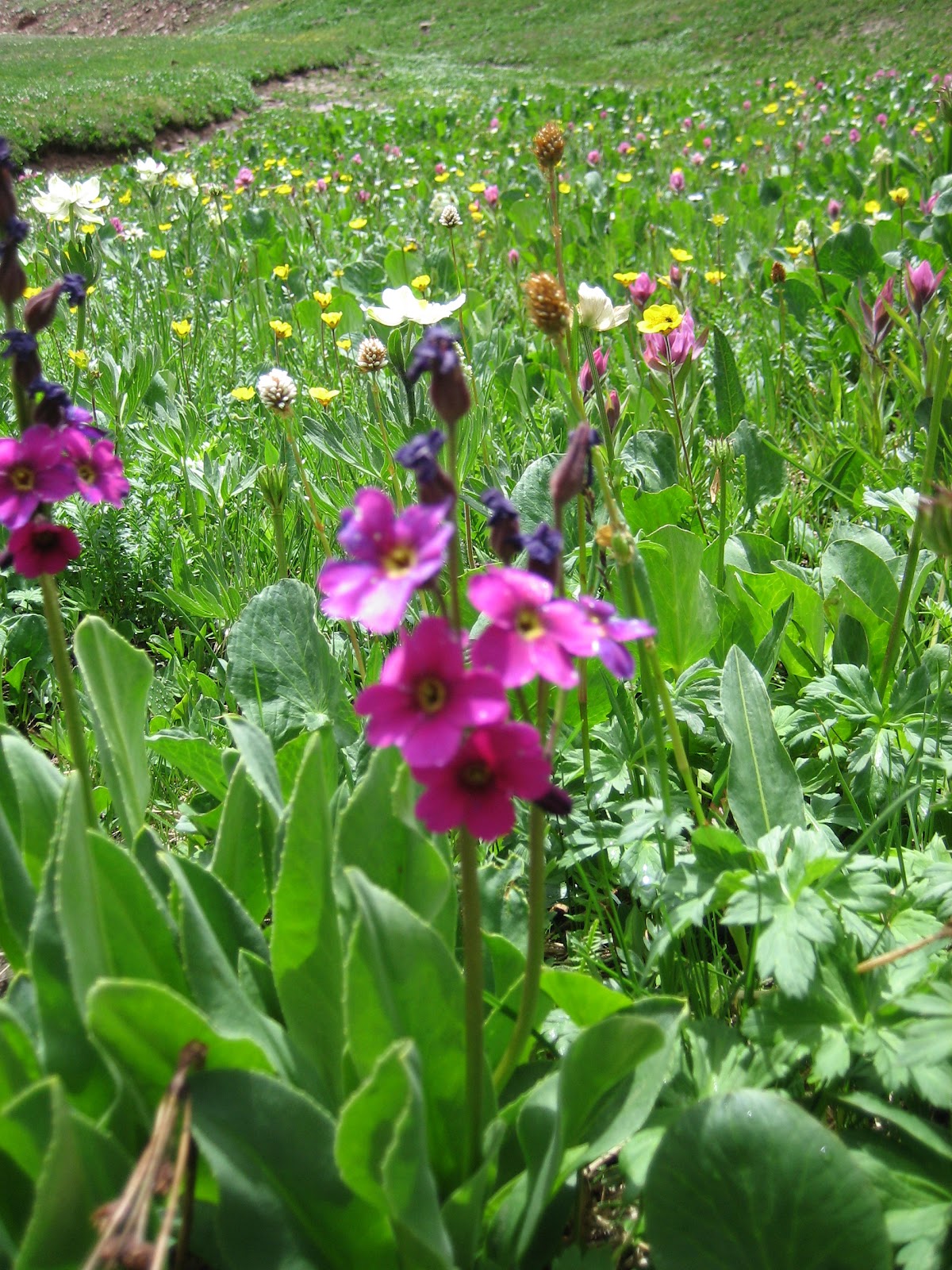
Here are some of the wild flowers we saw today.

Sunday, July 15, 2012

Conundrum Creek Hot Springs, Aspen CO


Long view up towards the Hot Springs
Yes, we are going to walk as far as you can see and then some more!

Reststop anyone?
Let's start with the facts
9 hours
17 miles
Starting elevation 8,757 feet. Highest elevation 11,289 feet
4,993 feet gained 4,987 feet lost
Total miles : 23.5

As a side bar I will mention that we drove by the Aspen airport and it was wing to wing full with rows and rows of private jets all in for the holiday weekend. I guess they have their own air force here In Aspen... Or perhaps they sent out invitations and included some line of BYOJ.

Being the holiday time, we were worried about getting to the trail head early as parking is limited. If you do not get a parking spot then you have to park an additional 1.1 miles away. That is not something that we want to add to today's hike. Fortunately, when we arrive at the trailhead parking lot there are lots of spots available. We get ourselves packed up and start smartly off to read the trail head sign. Again we giggle at the Rest Stops bags that are free at the trail head. The whole idea being you pack out EVERYTHING that you carry in. With all the people that visit this hot springs there can be a lot of bunny hole digging going on! Kathi poses for a picture with her new "rest stop in a bag" and then we head off to the next sign.

There is another sign posted about seven feet down the trail which read: Caution ahead at hot springs: bear, cougar, coyotes, vultures, and ravens eating on cattle carcasses. A second warning regarding contamination of the hot springs with cryptosporidium and e-coli. Hmmm what kind of warning is this. Another car pulls into the trail head parking lot. Kathi goes back to check to see what info he might have. He said if the rangers did not think it was safe they would close the trail down. Hmmm good point. We start hiking at 7:45.
 
 
Attention, better read this first

Kathi and I review wild animal sighting procedures. Cougar or Mountain lion - stop moving and look big. Bear - stop moving, look big, no eye contact. Do not run away from either. Hmm, who ever wrote the "do not run" rule either worked in an elementary school or most likely never met a bear or cougar while standing out in the open. I bet they were sitting behind a desk! Running seems like the most logical idea, well, until you remember you look more like a retrieving game for the predator... I have a special rule that I would like to add -- No pictures. Kathi and I met a bear once while vacationing in Glacier National Park and she wanted to stop to take pictures. So there will be no photo opportunities. We break out our "yo bear, go away bear" loud scarey voices.

The first 6 miles of this trail we did last year. We hiked out to the Silver Dollar Pond and stopped there. Not far from this point there was a tough creek crossing that would have involved hanging by a rope while crossing waist deep water. That did not sound very safe, so we turned back. This year with it being much drier we set our sights on getting up to see the hot springs, which were 8.5 miles from the trailhead. The elevation gain of this hike seemed like a good idea for a second day of hiking. Well it seemed like a good idea until mile 7. Then it seemed more like a really cooky idea! Perhaps going 17 miles might have been too large to attempt on day two....
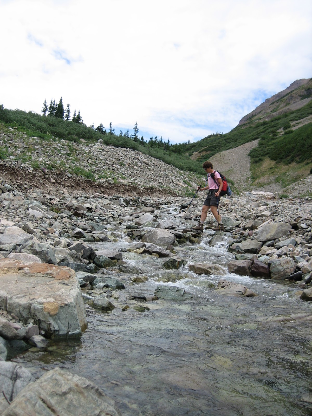
Penny crosses creek this year, notice water level in creek.

Kathi crosses same creek crossing during snow melt from last year.

If you can remember back to last years trip up Conundrum Creek it is named for the fact that many a miner came back up into the area in hopes of striking it rich. The surrounding mountains and creek carried signs of gold, but no one ever found any. Thus the name Conundrum. Part of the trail still shows signs of the wagon wheels the miners used in getting to and from their stake. I am sure they must have used two wheeled wagons as the trail is so rough that keeping four wheels intact and still on the wagon would have been very hard. The trail at times is soft on your feet as the pine needles have fallen through the years and left this nice loamy soil. If this loamy soil was placed all in a row it might measure one mile, perhaps less. The rest of the 8.5 miles of this hike seems to have rocks the sizes of kitchen sinks, basketballs, and softballs. The kitchen sink rocks you step on or over, the softball size you try to avoid because they roll, the basketball size ones seem to cause the most trouble. All basketball rocks seem to jump up and try to trip you. I swear they are alive!

I am pretty confident that the entire time we are hiking, we trek up 200 feet of elevation, only to loose 100 feet of elevation which we had just attained. So the hike is very rolling. But in true form we have many things to look at. We saw delphiniums as tall as Kathi, lupine, geraniums, columbine, red trumpet fire flowers, and fish swimming in the beaver ponds. There were uncountable groves of Aspen trees along the way. Aspens are very pretty to watch as the leaves just flitter in the breeze. Oh, and the pine, hmm the smells are rich and clean. 
Peeking into the Ranger Cabin which is full of poo

After a great amount of effort we arrive at the beginning of the backpack camping sites at the hot springs. We have more uphill to go as the hot springs are still another quarter mile up the hill. We stop at the abandoned ranger cabin and shoot a couple of pics. All around the cabin there are piles and piles of poo. The cabin itself smelled very strong of poo. The poo in the cabin is deep. We stop and analyze the poo. Looks like there is grass in the poo, so I am not thinking this is from bear. Bear do not eat grass, running people yes, but not grass. It seems like horse poo but the shape is not quite right. Hmmm. I've seen piles like this before. What could have created all of this poo? Hah, and the rangers were worried about humans carrying out their poo.

 Coming around the final bend to the pools we see there are two people sunning themselves at the edge of the hot spring. Maybe I should say they are sunning all of themselves. You see, the hot springs are a clothing optional pool. These two do not seem hindered by the idea of funky things like e coli, nope, maybe a sun burn, but not e coli contamination. Kathi and I consider skinny dipping in the hot springs. Just one thing stopping us. Kathi thinks our little 16 square inch fast drying towel we use to dry our feet if we have to remove our boots when crossing a stream, will not be quite large enough to dry us off. Good point! Well I guess we will not be able to use the pool!

Kathi and I pass by the two sunbathers. Well, since the trail goes right next to the pool, we do too, yes it does seem a bit strange to walk past two naked people sunbathing. We head to a spot where there is a guy sitting on an overlook of the whole valley. We join him so we too can overlook the valley. The whole valley... if I were naming the overlook I might choose something like Peeping Tom's overlook. From here nothing is out of sight so to speak.
Hot Tub for four


We make casual greeting and chit chat with the friendly overlook guy. We take a few pictures of the valley and pools. In our casual chatter with overlook guy we hear a story of what has all happened in the area. The whole story about the poo, the carcasses, and the mission statement for national wilderness areas is to let nature happen.

The story as told by overlook guy goes something like this: at the end of last grazing season a rancher had misplaced 29 head of beef cattle. He looked and looked for them, even sent a helicopter out twice to see if the cattle could be spotted. Well the beef cattle found their way up and over a mountain pass and down to the hot springs. The cattle thinking it was getting a bit chilly to be out and about thought the hot springs area was a great winter hideaway.

The smaller yearlings hung out in the abandoned ranger cabin, but the larger adult cattle could not fit through the door so they would have to tuck themselves into the willow thickets to try and block the winter winds. By the end of winter all the cattle had either perished or disappeared. Only 12 of the 29 cattle were found in the hot springs area, 6 calves had died in the cabin and had to be dragged out. Some of the larger cattle were laying about the hot springs. 17 cattle were not found. I suspect the missing cattle fell over the edge of the canyon walls that are not far from the ranger cabin.

Since this land is in a Wilderness area, the land management rules say let nature take its course. The dead cattle were spread apart, but really left in the area and the people using the area will be warned. So thus we have contaminated water and a hot bed of predator animals having dinner... Nice.

This story also goes a long way to explain all of the poo up at the cabin. The cattle used it as a winter get away. No wonder that poo looked familiar...

By now two more people have joined in the hot spring skinny dipping contest. Overlook guy is telling us how on the weekends the hot springs can have a hundred people all in various stages of getting in and out of the pools. I try to imagine this scene. I certainly hope it is not 100 naked people all milling about!

We see the clouds gathering and we decide we should go. We meander over and shoot a pic of what is left of one beef cow and then start to head on out. As we are hiking we notice the clouds really gathering up into rain. We do our fast foot exit. Only this time we spend 5 miles of fast footing before we get ahead of the storm enough in order to slow down.
Remains of cow carcas


I swear this is where those darn basketball size rocks really do a number on your exit plan. Kathi and I expend way to much energy fast footing. By the time we have two miles to go we are just down to a nice slow walk. 17 miles is a long way to walk and consider the realm of the enormity of the world. At this point I am wondering why we thought this would be a good idea for a second day hike. I am also wondering how it most have been very, very had to live in a timewithout cars...The rain manages to stay just on our heals and we make it back to the car with only sprinkles on us.

Note to self: 17 miles on day two is too many miles!