Today we got up and out early. We had to beat all but 11 other cars up Old Fall River Road to win a parking spot up at the Chitiquia, Chaplin, Ypsilon Trail Head. IF you don't score on of these twelve spots, then you have to add extra milage of hiking because you will have to park up the road a bit. The road we took up to the trailhead opened originally in 1920, OLD FALL RIVER ROAD, it is a one way gravel road dandy! The road earned the distinction of being the first auto route in RMNP offering access to the park’s high alpine country. It has loads of switchback, no guardrails, and a max of 15 miles per hour speed limit. It has one section of three switchbacks that are fenced in tiers of rock that leave you wondering what will happen when the fencing gives out...
The road certainly has a few spots that are a bit crazy and made us a bit uneasy But we survived. We arrived at the trailhead with only two cars there before us. Yeah, we scored parking.
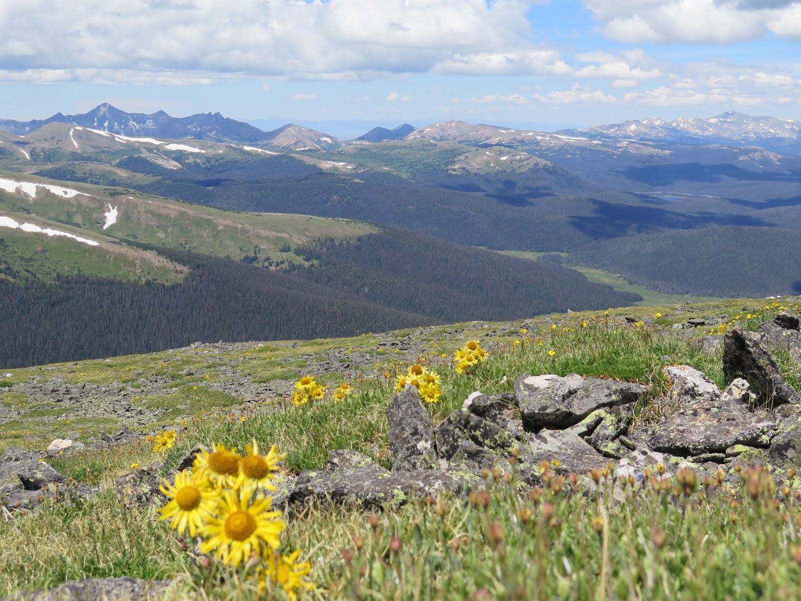
We quickly proceed to grab our stuff and head out. This hike is another up, up and more up. We followed a good path until we got out of tree line. This is where the official trail ends and the unmaintained trail begins. It was rock hop after that. Some rocks placed on purpose to make a stairway up through a steep section and other rock all jumbled in talas piles that you pick your way through. When we broke out of tree line we had a grand view of an enormous valley. The trail we were on is the only view a visitor would get down into this section of the park.
We hiked across the backside of Chapin mountain. We looked for a trail spur to go up it, but did not see one. Continued on to Chiquita mountain. Here we found the unmaintained trail ended and the un-un non-existing trail began. Had to stop and put on all of the clothes we were carrying as the wind and the cooler temps were making it feel rather chilly. We gain another 1000 feet of elevation to the tip of the mountain. The way is obvious even if the trail is not. We stopped in the rock wind shelters leading up to the Mount Chiquita summit (13,069’).
We are ragtime hiking with three young graduates from Waukesha. They were a tad underdressed but were trying to get acclimated to hiking at high elevation. They had aspirations of hiking up Long's peak in a few days. I'm loving that I bump into three young kids who have captured the message of finding movement that makes them happy.
To reach Ypsilon Mountain, you sort of follow the most established track 200’ down to the Chiquita – Ypsilon saddle. A single clear path up Ypsilon does not exist. You have the basic idea of where to go, but there is no one clear way on how to get there. There is lots of looking for what piece of talas looks the most level for your boot. Climb steadily up Ypsilon’s south flank to a the couloirs with exceptional views down couloirs to the Spectacle Lakes (13,360’). The couloirs form a distinct Y down the east face for which the mountain is named (Ypsilon is the Greek letter Y). Snow hangs in these couloirs year round making it very easy to identify.
A short, final push leads to the Ypsilon Mountain summit (13,514’). Here we tooks some pictures looked out the 360 view that we had and just enjoyed the moment. The winds that had been blasting us on the way up seemed to have subsided.
After a good rest at the top we started our return trip back down. Some of the trip reports that we read said we should hike back up Chiquita and then back down as that would be easier than picking your way through the talus patches across the back shoulder of Chiquita. That seemed like a bad idea. We picked our way across the back shoulder of Chatiqua trying to keep roughly the same elevation so we would meet up with the trail back. We were successful and found the trail. Sat down hand had a nice lunch.
Hiked back down to the car while keeping an eye on a fellow who was on a lower trail which came off of Chiquita pass. He came out roughly the same time we did at the junction where the sign says all summits to the right… He went straight ahead. This trail looks easier and way less rocky. We will take that trail next time.
Got back to the car for some cookies and watched the parade of cars passing us on the old fall river road. I suppose they all just had to drive the road as something to do... We then proceded up to the Alpine visitor's center where we had a nice latte and did a bit of shopping before heading back to town.
 |
| Simple just go that way... |
 |
| Views at the top |
 |
| Epsilon lake from the top |
 |
| Headed toward the "batman rock" |
 |
| Standing at the top of Chiquita |
 |
| Looking down another branch on the Y |
 |
| Mt. Ypsilon is the one with the white streaks of snow forming a Y, Chiquita is to the left. |
 |
| Looking down over Ypsilons Iconic snow fields that make the iconic Y |
 |
| Choose your own way. |
 |
| Ypsilon lake |
 |
| On top of Chiquita |
 |
| Spectacle Lakes, Can you see it??? |
 |
| Alpine sun flowers |
 |
| Very true sign. Trail not maintained. Find your own way to those mountains behind the sign. |
 |
| Looking across the way is the Alpine Visitor center |
 |
| The way back down is steep |
 |
| This is our Rental Limited Cherokee, I am taking notes after our hike. |


No comments:
Post a Comment